-
English (US)
Choose your OTT HydroMet brand and region:
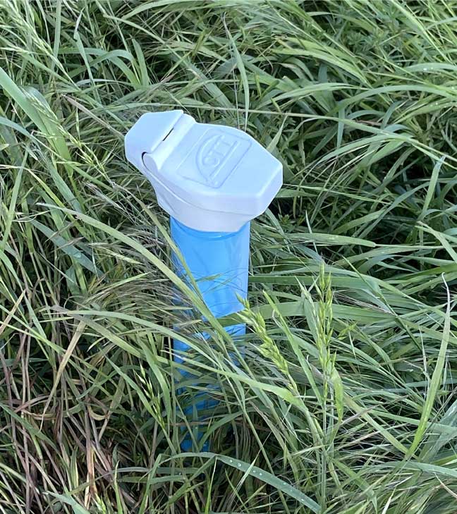
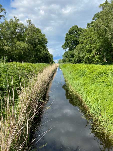
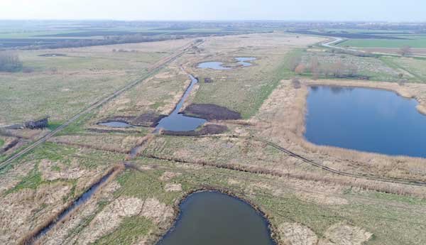
In 2001, five organizations came together to set out a vision for the Great Fen, with the aim of providing a more sustainable future for the area. In many respects, this work focuses on restoration by managing water levels, so a network of monitoring wells has been established.
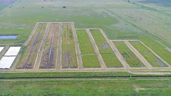
The Great Fen is an expanse of nationally significant fen landscape between Peterborough and Huntingdon in the United Kingdom. The Great Fen covers 14 square miles of land that is being restored to wild fen over a 50-100 year timescale, creating a huge nature recovery network.
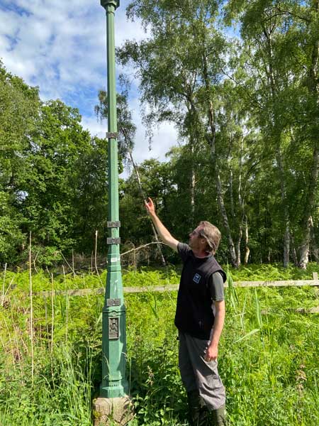
In the 1800s, conscious of the likely shrinking effect of draining the peaty soil around Whittlesea Mere, William Wells, another wealthy landowner, instigated the burial of a measurement post at Holme Fen, which was anchored in the bedrock and cut off at the soil surface. Today, around 4 metres of the post is showing above ground, recording the ground subsidence since 1852. The ground level at Holme Post is now 2.75 metres below sea level – one of the lowest land points in Great Britain.
Several issues have arisen as a result of the drainage. Firstly, there has been a huge impact in local ecology and biodiversity with the loss of a large area of wetland. Also, as the ground level subsided it became less sustainable to pump water up into the main drain. The loss of peat has become a major concern, because, as a carbon sink, peat is hugely important in the fight against global warming.
Peat forms in waterlogged, acidic conditions when layers of partially decomposed mosses and other bog plants accumulate. The process is very slow; it can take up to 1,000 years to form just one meter of peat. Nevertheless, around 60% of the world’s wetlands are made of peat. The plants which form peat capture carbon dioxide from the atmosphere and as a result, large quantities of carbon are trapped in the peat. However, if the peat is drained, it decomposes much faster; releasing the stored carbon. Peat burning has the same effect, but much faster.
It has been estimated that the reduction of peat loss in the Great Fen, coupled with the capturing of carbon by vegetation is saving 325,000 tonnes of CO2 from being released each year.
The project is also a good example of natural flood management (NFM) because it provides extra water storage after heavy rainfall, which slows water flow and helps to protect surrounding towns, villages and farmland from the risk of flooding.
Working with a team of over 60 volunteers Henry Stanier, Wildlife Trust Monitoring and Research Officer delivers a monitoring program for the project area, which is currently around 3,700 Hectares including:
Henry says: “Fenland restoration depends heavily on a deep understanding of the geology and the water table, and the effects of water status on the local ecology. The water level monitoring that we undertake provides the data that underpins the science that informs the important management decisions that are made. The quality and reliability of the OTT water level loggers is therefore vital, and we look forward to expanding our network of monitors as the project continues to grow.”