-
English (US)
Choose your OTT HydroMet brand and region:

Measuring groundwater level or depth-to-water is critically important for identifying long and short-term trends, including declining water levels, saltwater intrusion, and aquifer recharge.
Time-series groundwater data is the foundation for groundwater modeling and forecasting that are useful for identifying drought, characterizing groundwater supply availability, and identifying changing groundwater conditions.
Groundwater monitoring techniques range from on-site measurements to modern remote data collection technologies, such as cellular or satellite communication. Water level, temperature, and/or conductivity measurements can be taken manually or a well can be instrumented with a groundwater level logger or CTD logger.
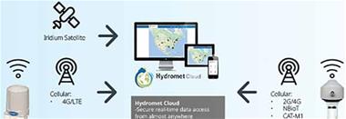
Near real-time data can be collected and automatically integrated into client servers or cloud-based software for access almost anytime. OTT HydroMet offers multiple level loggers and remote data transmission options to save time and resources spent in the field.
View how data starts in the field via sensors that collect different parameters and how it travels to you using various software and telemetry options.
Groundwater – Out of Sight, Out of Mind? Learn how groundwater monitoring is important for water use, drought, and more.
Conductivity: A Fundamental Water Quality Parameter
Continuous monitoring of conductivity levels in surface and groundwater can help identify environmental impacts, such as saltwater intrusion, surface water pollution, and long-term trends in water quality

On-Demand Webinar: Telemetry for Water Professionals
Join us as we discuss available telemetry options and the pros and cons of each based on different monitoring objectives and data needs. We also review how two-way communication and alarm management can help you improve data quality and manage costs.
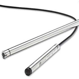
Groundwater Sensor Selection Guide
Use our Guide to compare available groundwater solutions to determine the best choice for you.
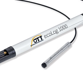
Video: OTT ecoLog 1000 Installation
The OTT ecoLog 1000 is designed to be easily installed, concealed, and maintained. What does the 5-minute installation look like for this all-in-one instrument?
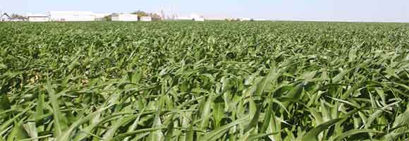
Aquifer Monitoring Around the Northern Texas Panhandle
With 95% of local water from the Ogallala aquifer going to crop irrigation, this Texas team needed data on their groundwater resources. Read about how they used 37 monitoring wells with IRIDIUM® telemetry to send data into an online interactive map with near real-time groundwater data to share with the district.
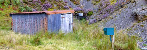
Addressing Mining Pollution Across the United Kingdom
Learn how OTT HydroMet’s groundwater network helped reduce staff involvement and consolidate costs for mine treatment schemes in the UK. Now, staff occasionally check equipment for maintenance purposes but can overall leave sites running unattended.