-
English (US)
Choose your OTT HydroMet brand and region:

There is an urgent need to improve flood preparedness as the intensity and frequency of precipitation events
escalate as a result of climate change. Early flood warning systems provide timely data to alert stakeholders and
communities of potential flood events.
Have you heard the term 1 in 100 year flood? That means that if
my house flooded last year, it won't happen again for 100 years,
right? Not exactly... This is a common misconception. In reality, a
100 year flood means that experts estimate a 1 in 100 (1 percent)
chance in any given year that a flood will occur.
Flood maps show how likely it is for an area to flood. Continuous
data combined with historical records are used to generate flood
plain maps. The better data on the body of water, the more
accurate the delineation. This information gives insight into the
risk level in order to mitigate damage to property and strategize
new developments.
As time goes on, experts are finding that these predictions and
flood zone designations may need to be revised to reflect higher
risk, thus influencing development and insurance need in nearby
communities. Data-driven decisions such as these require realtime
meteorological and hydrological insights.
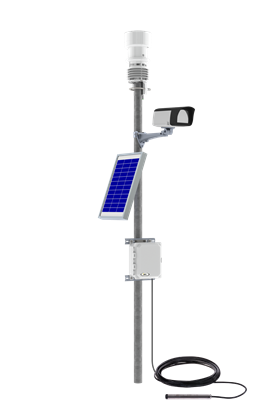
OTT HydroMet provides turn- key and customizable solutions to quickly inform if a critical parameter threshold has been exceeded. Effective system are comprised of:
Looking for an end- to- end solution with all the necessary components to easily establish a flood warning network? Check out our bundled flood warning system with optional upgrades to fit your needs.
Did you know that OTT HydroMet Flood Warning Systems can assist in improving your Community Rating System (CRS) credits? FEMA’s CRS is a voluntary incentive program where flood insurance premium rates are discounted to reflect the reduced flood risk resulting from the community’s efforts to alert, educated, & inform stakeholders. Learn more about how turnkey solutions can improve your rating.
Learn how to select sensors and full solutions based on use case and key advantages in our product brochure.

Enhance your flood monitoring capabilities with 24/7 visual confirmation. Easily integrate a
compact station camera into both the SUTRON XLink 500 & SatLink 3 dataloggers with a
ready-to-use Python script. Provide qualitative context to sensor readings and remote
access to current conditions.
Whitepaper: Building Flood Resilience
Learn how to use our five-step plan to achieve flood resilience through monitoring. In this whitepaper we included expert hydrology guidance on how to build flood resilience plans for any stage of your current network.

When It Floods, Are You Prepared?
Discover how taking charge of your data can help your organization mitigate public risk. How does data management look in the context of flooding? FIndout in this eBook.
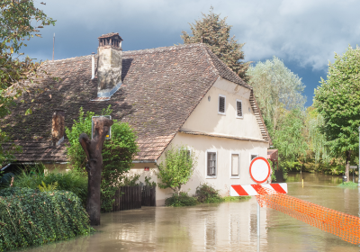
The 2021 Floods in Central Europe
In July 2021, catastrophic flooding devastated communities in Germany, Belgium, the Netherlands, Austria, and Switzerland. Western Germany was hit the hardest with over 185 lives lost, making the event one of the biggest casualties since World War II.

2023 Watershed Monitoring Trends
To gain better insight into the evolving landscape of environmental monitoring, we combined global data and market research to synthesize the top three trends to keep an eye on in the new year.
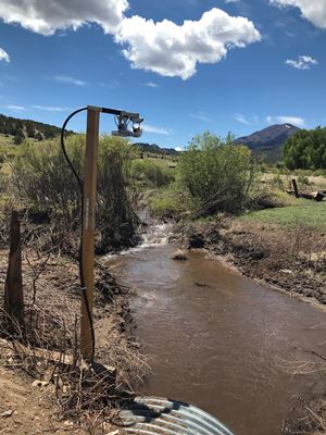
Establishing Post- Wildfire Flood Monitoring
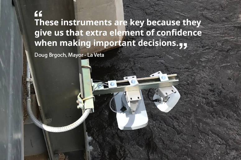
After the Spring Fire devastated some 109,000 acres and increased the likelihood of water run-off into the town of La Veta, Colorado (USA) it became necessary to know when a flood event was approaching to give citizens enough time to evacuate.
Learn how the team in La Veta started collecting critical water data, which allows them to see when water from multiple areas is rising to a dangerous levels in order to alert citizens.
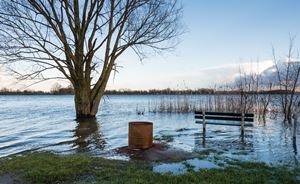
Harris County Flood Warning System
Learn how having a reliable system in place to monitor water levels, including OTT sensors, has allowed the Harris County Hydrologic Division to begin focusing on collecting discharge measurements, which are needed to maintain and adjust rating curves vital to flood forecasting efforts.